Summary
The Forest Hydrology programme involves a number of collaborative studies of the effects of forestry on flood flows. These include long-term studies of the hydrological effects of upland conifer forests in research catchments at Coalburn in north England and Balquhidder in mid-Scotland.
The results indicate that while some forestry practices and phases of forest growth affect peak flows within small headwater catchments, the impacts diminish at the larger catchment scale.
Research Objectives
Forests the world over, have long been associated with helping to reduce flooding. Most flooding disasters have been partly blamed on the effects of deforestation.
- The cases for and against forestry reducing flooding.
- The role of forest management and scale in reducing flooding.
- Can forestry reduce flooding? Research results.
- How native woodlands can help reduce flooding.
- How a shift to continuous cover forestry may reduce flood risk.
- The role of floodplain woodlands.
- Opportunity mapping for trees and floods.
- Woodland and Natural Flood Management – lessons learned.
General Content
The impacts of rural land use and management on flood generation were reviewed by a research consortium for Defra.
Downloads

A Comparison of Nature Based Solutions: Beaver Dams versus Timber Flood Storage Bunds at Cropton Forest, N Yorks.
This 2024 report outlines a study undertaken to estimate the potential flood storage provided by beaver dams during flood events, comparing this with existing man-made timber bunds to determine whether the beaver dams offer comparable storage volumes such that the eventual loss/failure of the timber bunds does not pose an increased risk of downstream flooding.

Quantifying the hydrological effect of woodland creation in the Camowen and Drumragh catchments, Omagh, Northern Ireland
This 2018 report describes modelling and quantifying the hydrological effect of woodland planting opportunities identified in the Camowen and Drumragh catchments in Omagh, Northern Ireland using rainfall-runoff modelling techniques.

Opportunity mapping for woodland creation to reduce flood risk in Northern Ireland
This 2017 report describes a project to provide GIS spatial datasets and maps to identify priority areas for woodland creation to benefit flood risk management in Northern Ireland.

Opportunity mapping for woodland creation to reduce flood risk in Northern Ireland - MAPS SECTION
The maps accompanying the 2017 report

The role of woodland in flood control: a landscape perspective
Sustainable flood management is increasingly looking to the role of catchment land use in alleviating downstream flooding. Woodland presents a number of opportunities that are dependent on its location within the landscape. This 2006 paper by Tom Nisbet and Huw Thomas examines each of these opportunities, and considers whether woodland can make a significant contribution to tackling future flooding as part of a whole-catchment approach to sustainable flood management.

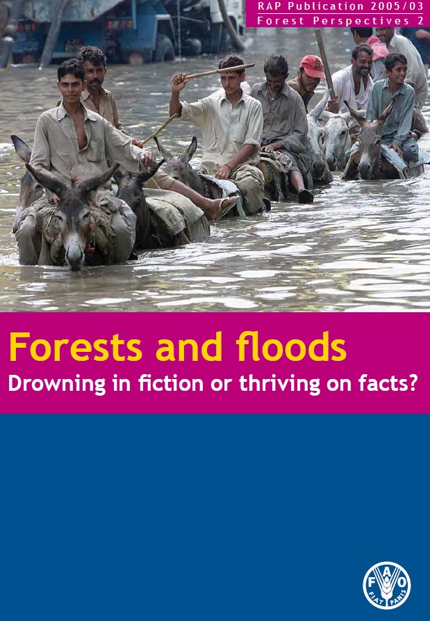
FAO UN review of Forests and flooding
Global review of the role of forestry in flooding
