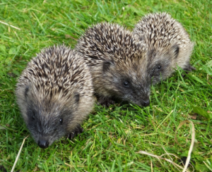
Research identifies worst areas for hedgehog road deaths
23 Jan 2020
Britain’s hedgehog numbers are in severe decline with the latest estimates suggesting that numbers have reduced from 1.5 million individuals in 1995 to 500,000 in 2018. Possible reasons for this include: loss of habitat and food sources; increased predation and competition with other mammals; and deaths caused by road collisions.
Now research just published in the journal PeerJ, details when, where and why hedgehog roadkill is most likely to occur, with the outskirts of cities in central Britain emerging as particular black spots.
The research, funded by the Mammal Society, People’s Trust for Endangered Species (PTES) and the British Hedgehog Preservation Society (BHPS), included analysis of more than 12,500 hedgehog roadkill records. The data were collected over 18 years by members of the public taking part in a range of citizen science projects, including PTES’ Mammals on Roads survey, Cardiff University’s Project Splatter, Hedgehog Street’s the BIG Hedgehog Map and the Mammal Society’s Mammal Mapper.
As well as using these data to investigate seasonal trends in hedgehog roadkill, the study applied an approach developed by Chloe Bellamy at Forest Research to model the hedgehog roadkill hotspots across the British road network, highlighting areas where measures to minimise the risk of hedgehog-vehicle collisions should be targeted.
The study found that around 9% of the 400,000 km of road in Britain is particularly dangerous for hedgehogs. Grassland areas, and the outskirts of urban areas, have the highest risk, and major roads are particularly hazardous, despite forming a relatively small proportion of the total road network.
Sussex University scientist, and author of the paper, Patrick Wright, explained that “As well as pinpointing areas of most concern, we were able to identify a seasonal peak in hedgehog roadkills in July: a time when vulnerable young hedgehogs are leaving their birthplace to forage alone.” He continued “The good news is that knowing where and when hedgehog road fatalities occur means that we will eventually be able to target our efforts to reduce hedgehog roadkill. Not just on certain roads but also at specific times of year.”
The Mammal Society, PTES and BHPS are calling on the public for help to pinpoint casualties in future. The Mammal Mapper, Project Splatter and Mammals on Roads free apps enable people to record sightings on the go and Hedgehog Street’s BIG Hedgehog Map and PTES’ Mammals on Roads websites collect records online. For more information visit https://bighedgehogmap.org/ and www.ptes.org/mor.
Photograph copyright to Mammal Society/Zoe Shreeve.
Forest Research has released the results of the Public Opinion of Forestry Survey 2025 for England and the UK, Scotland and Wales.
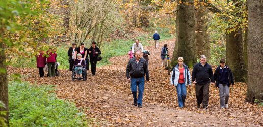
New research has been published which explores how to enable and encourage access to woodlands for diverse members of the public.
Forest Research has been involved in a project focusing on efforts to improve inclusivity in biosecurity practices by exploring how to integrate different knowledge systems into mainstream decision-making.
Forest Research has released the results of the Public Opinion of Forestry Survey 2025 for England and the UK, Scotland and Wales.
New research has been published which explores how to enable and encourage access to woodlands for diverse members of the public.
Forest Research has been involved in a project focusing on efforts to improve inclusivity in biosecurity practices by exploring how to integrate different knowledge systems into mainstream decision-making.