The report provide results, methods and details of the source data used in a mapping project to provide GIS spatial datasets which identify priority areas for woodland creation to benefit flood risk management in Northern Ireland. Maps are also available in an additional document.
The results provide a strong basis for developing and refining catchment strategies, initiatives and plans to deliver new woodlands where they can best contribute to flood risk management.
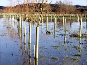
There are extensive opportunities in Northern Ireland for woodland creation (2,493 km2) in priority areas to mitigate downstream flood risk including 110 km2 for riparian woodland, 663 km2 for floodplain woodland and 1,721 km2 of the wider catchment.