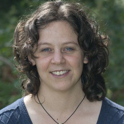
Shelley Kennedy
BSc Hons, MSc
BSc Hons, MSc
Shelley is involved in the application of geospatial technologies and GIS techniques within landscape ecology projects. Shelley works on various projects using Earth observation data for mapping trees outside woodlands, biodiversity and ecosystem services for the potential to improve ecological habitat networks and models.
Shelley joined Forest Research as a spatial analyst in 2014. Shelley has a background in ecology and has been a GIS professional for over 10 years with experience in spatial analysis, mapping and manipulating spatial & remote sensing data through various roles. She has previously worked at Natural Research Ltd, The Department of Conservation in New Zealand and Timberlands a commercial forestry company also in New Zealand. Shelley studied for her undergraduate degree at Aberdeen University in 2005 and was awarded her Masters Ecology degree also in Aberdeen, in 2009.
Member of the International Association of Landscape Ecology (IALE)
Member of the Association of Geographic Information member (AGI)
Member of the Association of Remote Sensing & Photogrammetry Society (RSPSoc)

Forest Research
Northern Research Station
Roslin
Midlothian EH25 9SY
UK
The research aims to increase our understanding of how woodlands and wooded landscapes provide a diverse range of ecosystem services (ES), and to help policymakers, forest managers and planners understand and assess how the specific placement and management of woodlands affects ES delivery at various scales.
Shelley Barbour & Chris Quine. 2017. Using Landscape metrics to identify adjacency rules – Pilot study
Barbour, S., Bellamy, C.,Burton, V.,Moseley, D. and Watts, K. 2015. Conference Paper: Ecological networks in practice: providing evidence for spatial planning and habitat management decisions with informative and intuitive indicators
Darren Moseley, Shelley Barbour & Chloe Bellamy. 2015. Clyde habitat and development analysis. Forestry Commission Report.